Deep Search Metal Detectors
High-penetration geophysical instruments engineered to detect deeply buried metals, voids, precious minerals, and subterranean anomalies far beyond the reach of conventional metal detectors.
Widely Used By
Professional Prospectors Archaeological Teams Utility & Pipeline Crews Mining Exploration Military & UXO Clearance
Key Purposes
Gold & Relic Recovery Underground Void Mapping Deep Pipe Location Mineral Deposit Surveys Subterranean Water Detection
Single Tap to Scroll • Double Tap to Open Catalog
Deep Search & Treasure Detection
Professional systems for underground metal, gold, treasure, and long-range target discovery.
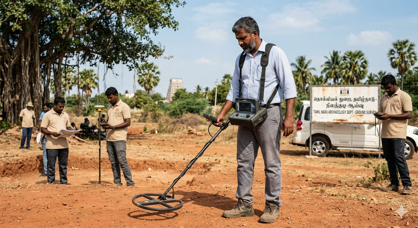
Underground Detectors
- Heavy-duty systems designed for extreme depth penetration.
- Utilizes large search coils and specialized transmission frequencies.
- Capable of ignoring heavy soil mineralization that blinds standard detectors.
Access Catalog

Gold & Treasure
- Highly sensitive to natural gold nuggets and deeply buried hoards.
- Advanced iron discrimination to reject trash and identify valuable non-ferrous targets.
- Essential equipment for serious prospectors and treasure hunters.
Access Catalog
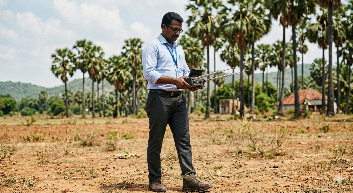
Long Range Locators
- Designed to scan vast open areas and direct users toward target zones.
- Operates on molecular frequency resonance rather than standard induction.
- Acts as a preliminary surveying tool before using localized pinpointing detectors.
Access Catalog
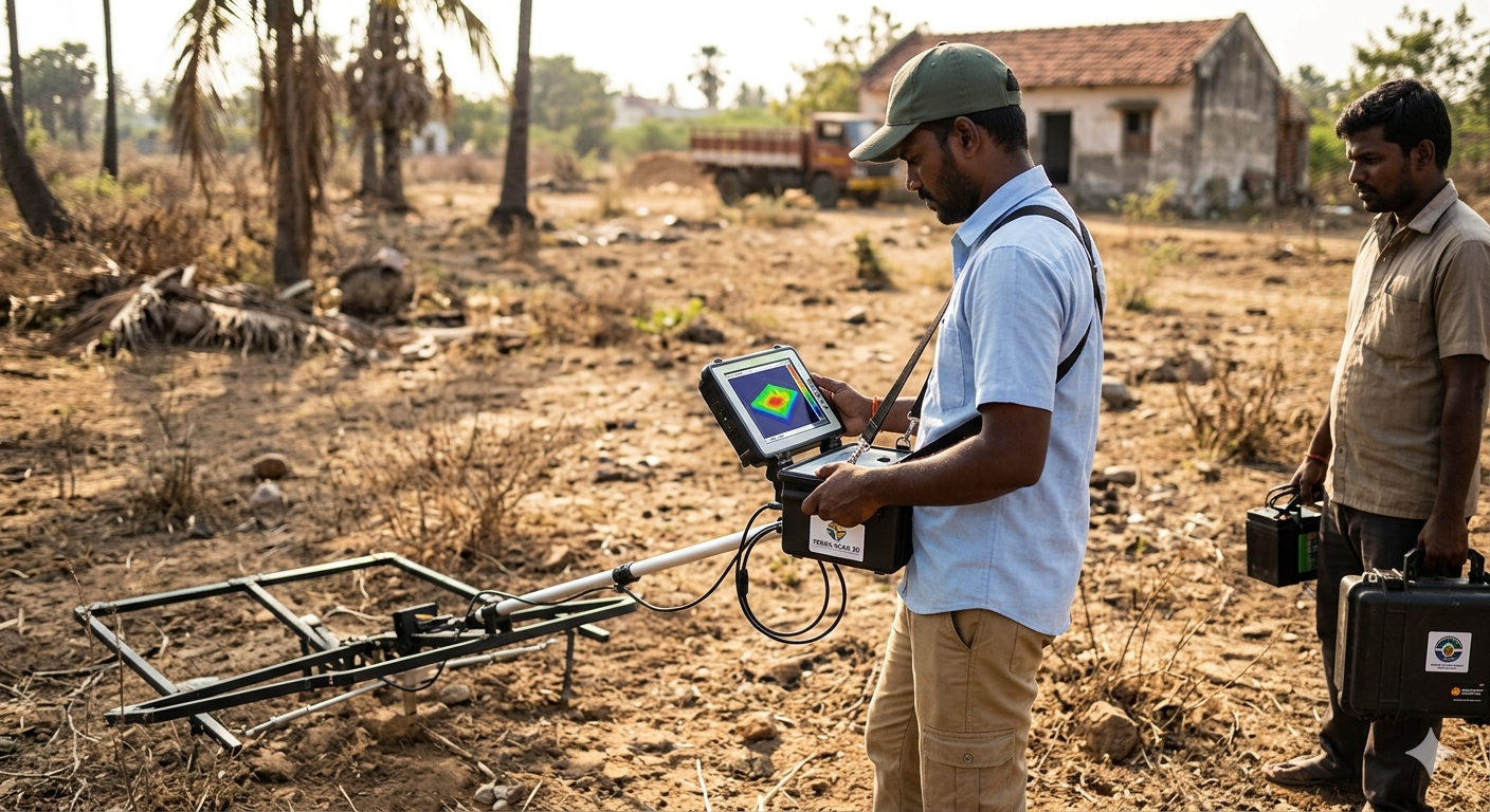
3D Ground Imaging
- Connects to tablets/PCs to generate live, color-coded 3D maps of the subsoil.
- Visually differentiates between metals, cavities, and natural ground variations.
- Provides precise depth and size estimations before excavation begins.
Access Catalog
Geophysical, Radar & Field Survey Systems
Advanced ground imaging, GPR, magnetic, pulse induction, and EMI survey instruments.
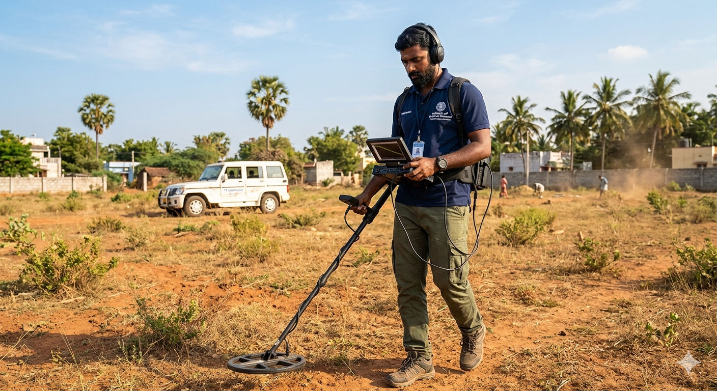
Geophysical Survey
- Multi-sensor arrays utilizing electrical resistivity to map large underground tracts.
- Identifies distinct geological layers, bedrock, and massive ore deposits.
- Standard equipment for civil engineering and geological research institutes.
Access Catalog
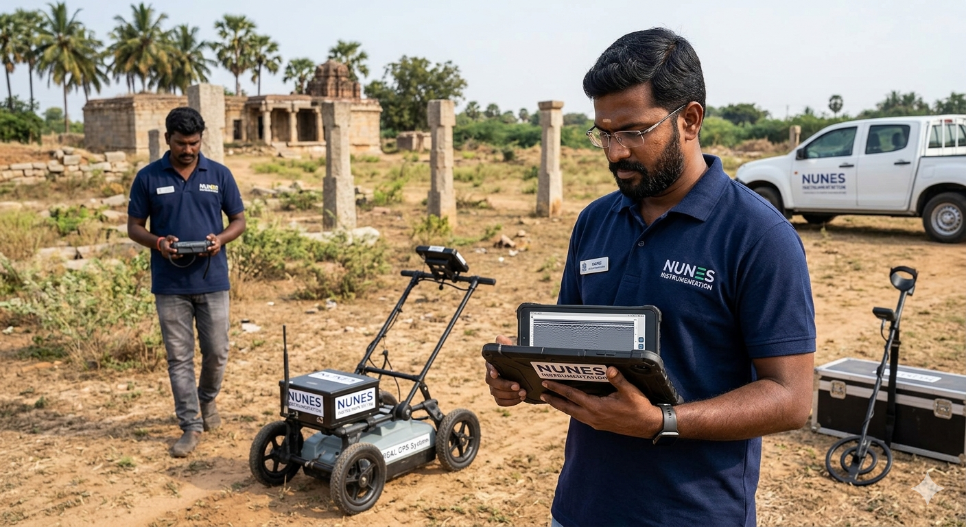
GPR Systems
- Fires high-frequency radar pulses into the ground and records the reflected echoes.
- Detects both metallic and non-metallic objects (PVC pipes, concrete, graves).
- The absolute gold standard for non-destructive utility locating.
Access Catalog
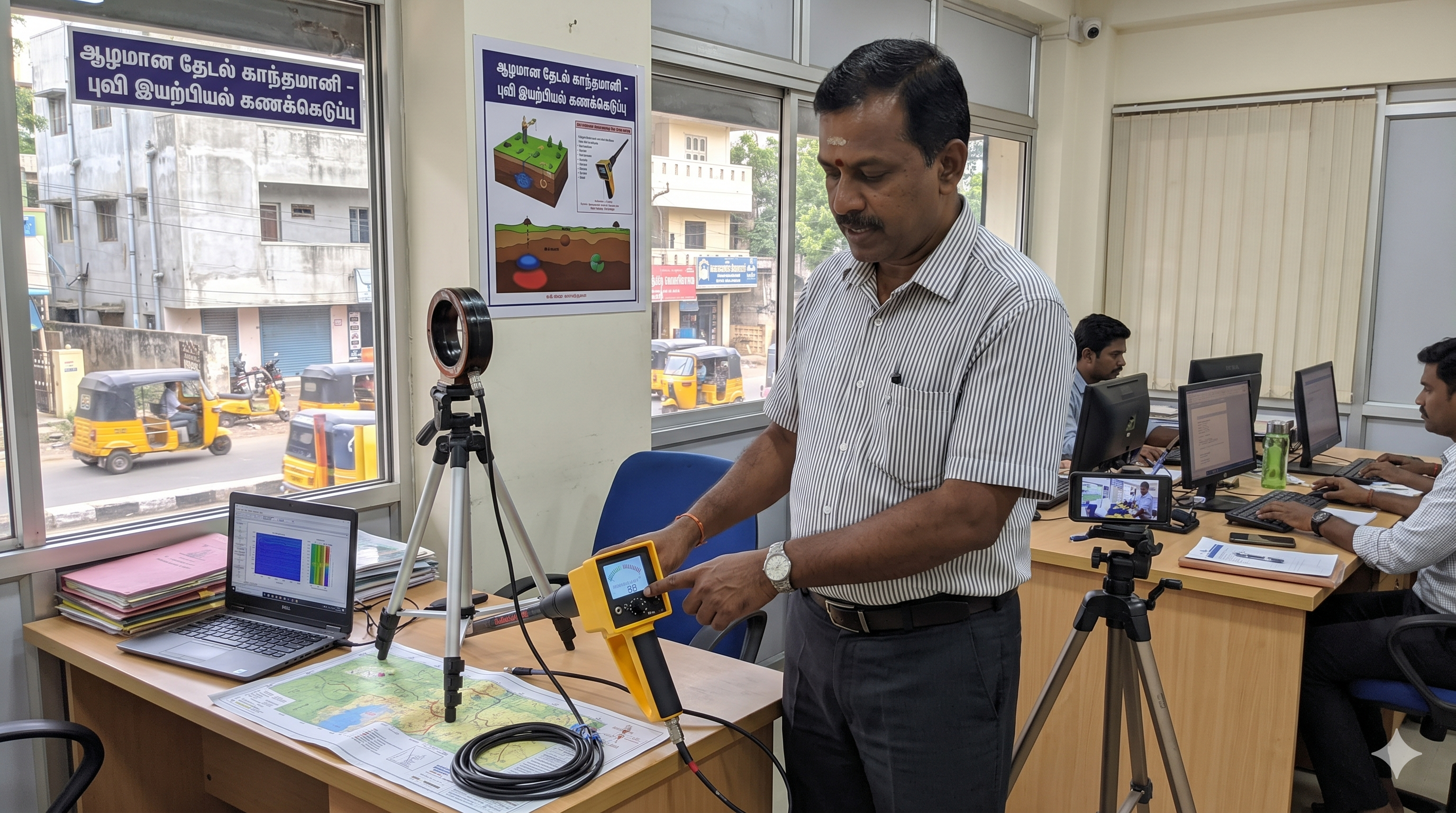
Magnetometers
- Measures localized anomalies in the Earth's magnetic field.
- Extremely effective at finding large, deeply buried iron objects (UXO, tanks, pipes).
- Does not transmit a signal, making it passive and highly energy efficient.
Access Catalog
.png)
Pulse Induction (PI)
- Fires powerful electronic pulses rather than a continuous sine wave.
- Almost entirely immune to highly mineralized soil and saltwater interference.
- The preferred technology for deep gold prospecting and underwater treasure hunting.
Access Catalog
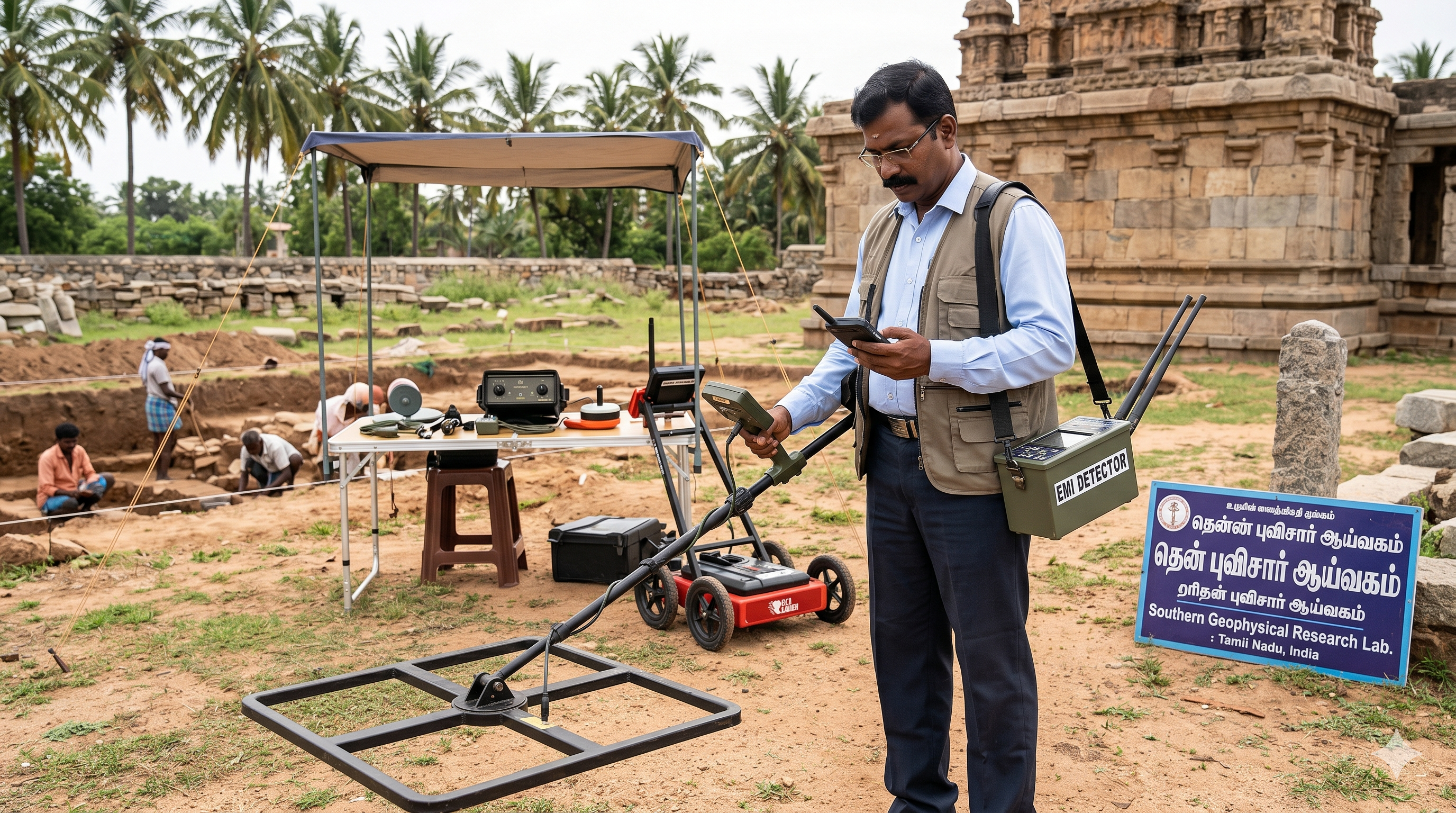
EMI Detectors
- Utilizes active electromagnetic fields to locate buried conductive utilities.
- Allows operators to trace specific active power lines and telecom cables.
- Crucial safety equipment for preventing catastrophic cable strikes during excavation.
Access Catalog
Specialized Subsurface Detection Applications
Dedicated solutions for voids, water, tunnels, pipelines, archaeology, and industrial scanning.

Ionic / Molecular
- Detects the subtle ionic fields emitted by metals buried for extended periods.
- Highly specialized for locating ancient treasures and long-lost hoards.
- Requires specific environmental conditions to track the ionic "halo" effectively.
Access Catalog
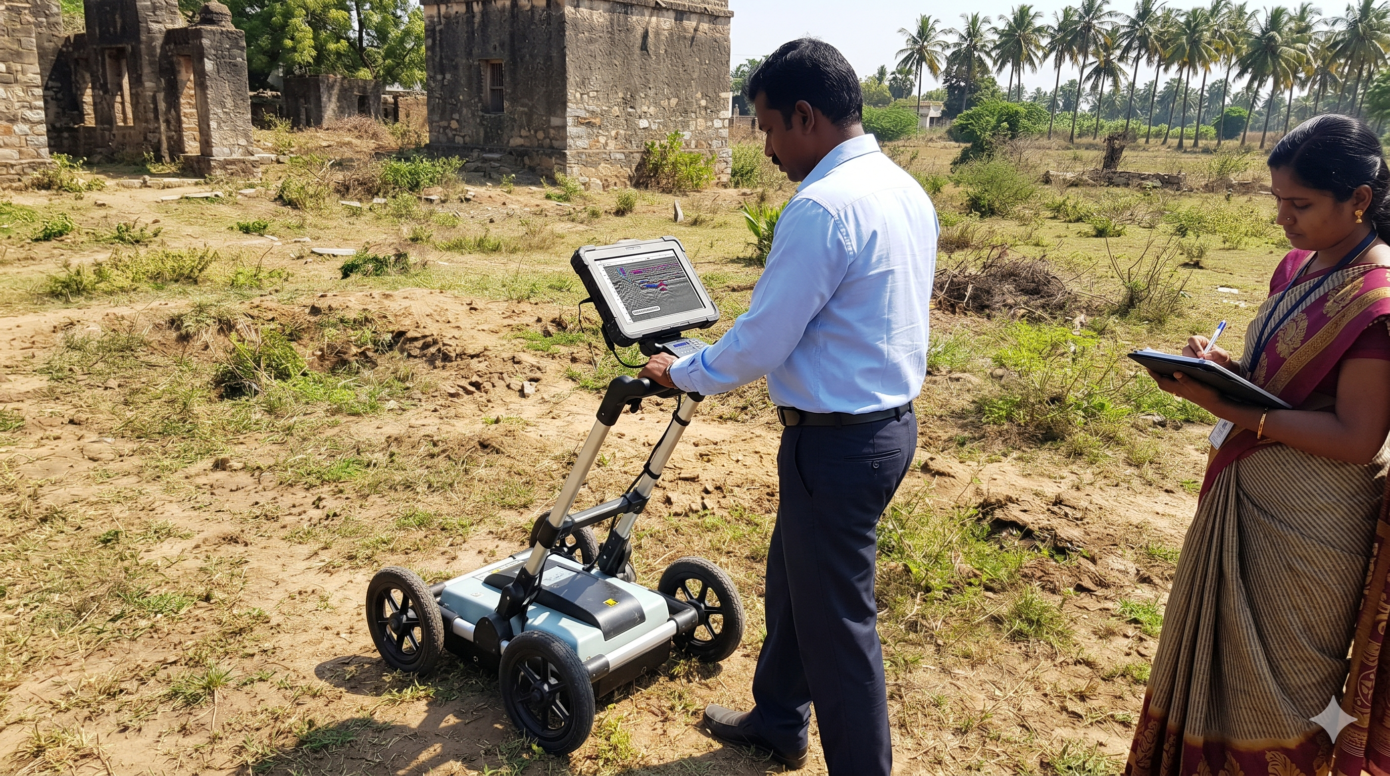
Cavity & Void Detection
- Geared specifically toward finding hollow subterranean spaces rather than metal.
- Locates hidden tombs, collapsed mine shafts, sinkholes, and ancient cellars.
- Utilizes a combination of resistivity and 3D imaging sensors.
Access Catalog
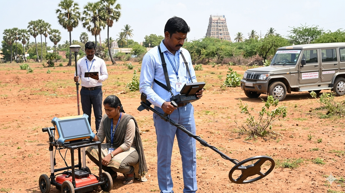
Water Detectors
- Hydro-geological instruments designed to locate deep aquifers and water tables.
- Determines water depth, flow direction, and potential salinity levels.
- Essential for agricultural planning and commercial well-drilling operations.
Access Catalog
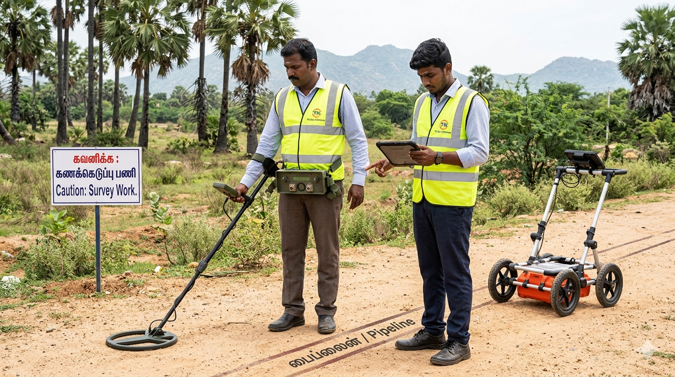
Tunnel & Pipeline
- High-power GPR and EMI systems tuned for deep infrastructure tracking.
- Maps the trajectory of deep sewer mains, gas pipelines, and subway tunnels.
- Prevents catastrophic infrastructure damage during urban development.
Access Catalog
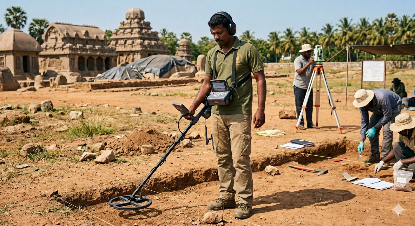
Archaeological Survey
- Non-invasive precision tools (GPR/Magnetometers) used by academic institutions.
- Maps foundation walls, ancient pathways, and undisturbed historical sites.
- Allows for targeted, precise excavation without destroying the surrounding area.
Access Catalog
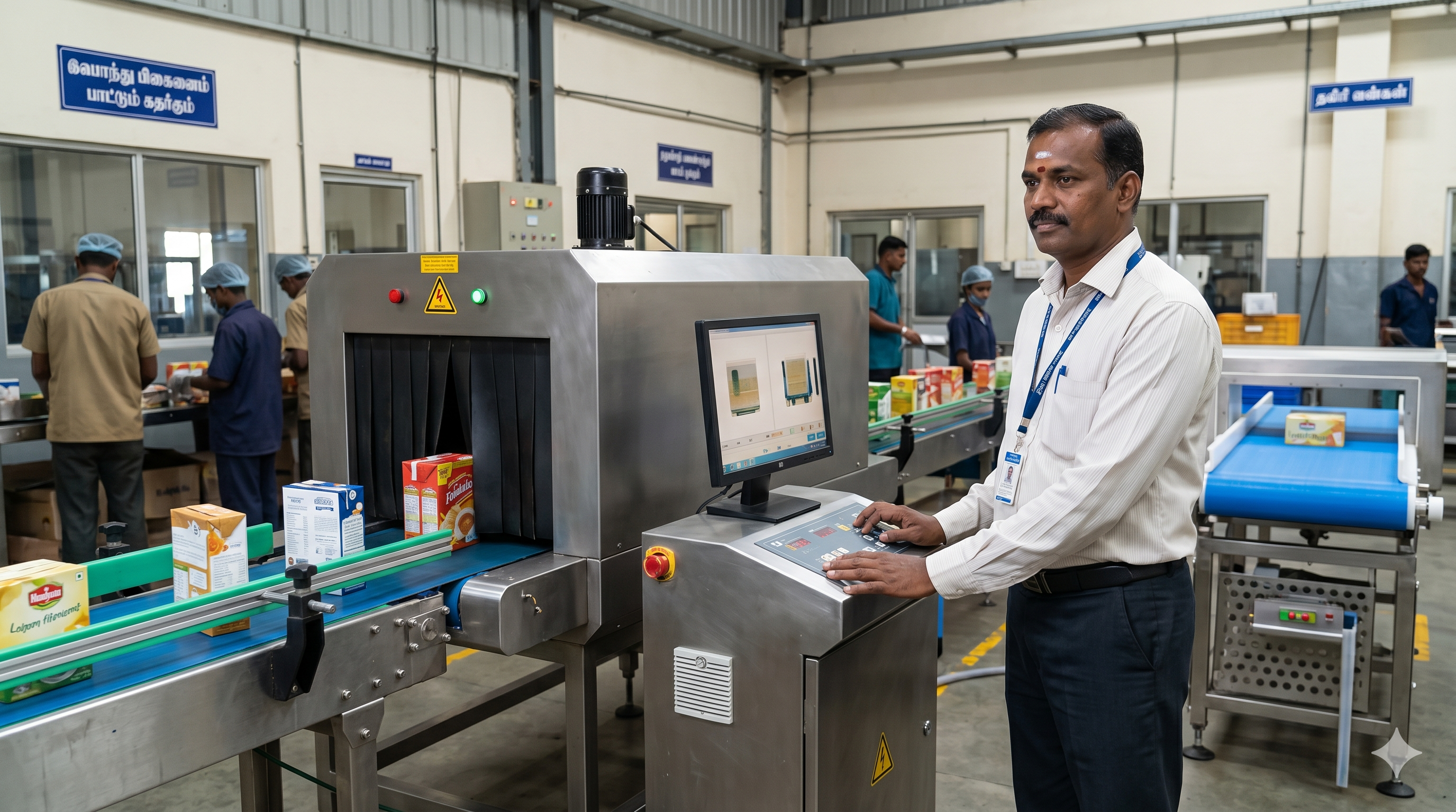
Industrial Scanning Systems
- Heavy machinery attachments for continuous scanning during excavation.
- Used for Unexploded Ordnance (UXO) clearing in former conflict zones.
- Provides real-time feedback directly to excavator operators for extreme safety.
Access Catalog
Enterprise Subterranean Metrology Protocol
Locating targets deep within the earth requires highly specific physics. Selecting the incorrect technology—such as using a standard VLF detector to find a deep PVC pipe—will result in zero detection. Understanding soil composition, target material, and depth is critical for successful geological surveys.
Pulse Induction (PI)
Deep Metal ProspectingFires brief, high-voltage pulses of electricity into the ground. These pulses are not reflected by highly mineralized soil or saltwater, making PI the absolute best choice for deep gold prospecting and underwater use. However, PI has poor ability to distinguish between iron trash and valuable targets.
Ground Penetrating Radar (GPR)
Non-Metallic & Utility MappingTransmits high-frequency radio waves into the earth. It detects variations in the dielectric properties of buried objects. Unlike metal detectors, GPR can "see" non-metallic targets like concrete, plastic pipes, voids, and disturbed soil. It requires relatively dry, non-clay soils for maximum depth.
Magnetometry
UXO & Heavy IronA passive technology that measures localized anomalies in the Earth's natural magnetic field. It does not transmit a signal. It is incredibly sensitive to large, deeply buried ferrous (iron) objects. It is the military and commercial standard for locating unexploded ordnance (UXO) and submerged shipwrecks.
Detection Depth vs Soil Type Matrix
| Target Material / Application | Recommended Technology | Primary Advantage / Standard |
|---|---|---|
| Deep Buried Gold / Relics | Pulse Induction (PI) | Ignores heavy soil mineralization and "hot rocks". |
| Underground Utilities (PVC, Concrete) | Ground Penetrating Radar (GPR) | Detects non-metallic targets and provides 3D depth profiling. |
| Unexploded Ordnance (UXO) & Iron Pipes | Magnetometry | Passive detection with extreme depth range for ferrous metals. |
| Voids, Caves & Subterranean Tunnels | 3D Ground Imaging / Resistivity | Visual mapping of structural anomalies and empty spaces. |
| Subterranean Water Tables | Hydro-Geophysical Survey (ERT) | Maps water depth, flow direction, and potential salinity. |
🏭 Industrial Applications
- Underground Utility Tracing
- UXO / Landmine Clearance
- Commercial Mining Operations
- Highway & Asphalt Void Detection
🧪 Advanced Use Cases
- Non-Invasive Archaeological Mapping
- Deep Vein Gold & Meteorite Hunting
- Agricultural Water Table Sourcing
📜 Compliance & Environment
- IP68 Fully Waterproof Submersibles
- MIL-STD Military Grade Durability
- FCC / CE Certified Frequencies
🚀 Industry Trends (2026)
- Drone-Mounted Magnetometer Arrays
- AI-Driven Soil Composition Analysis
- Real-Time GPS Target Tagging to Cloud
💰 Buyer Decision Guide
Choose this equipment if:
- You need penetration depths greater than 3 meters.
- You are operating in heavy red clay or saltwater environments.
- You require visual proof (3D scans) prior to mobilizing excavation crews.
🚨 Common Mistakes
- Using VLF in wet salt sand: Causes false signals and erratic chatter.
- Using GPR in heavy clay: Clay absorbs radar waves, limiting depth to inches.
- Ignoring EMI interference: Testing near overhead powerlines without frequency shifting.